News - 16/10/2014
A partnership between two FP7 projects: ERMES & ImagineS
While producing LAI field measurements on paddy rice fields, ERMES is supporting the FP7 ImagineS project’s activities focusing on the validation of the satellite products.
The FP7 ImagineS project aims at generating global maps of biophysical parameters at 300m resolution from Proba-V and Sentinel-3 data. In order to support the validation process of these ImagineS products, CNR-IREA staff involved in the ERMES project gave its contribution by measuring LAI over rice fields between the 3rd and 4th of July, 2014.
Field data were collected over the Rosasco site of interest (Pavia province, Italy) which is located within the ERMES Italian study area investigated by the project. About 500 hemispherical photos were acquired by CNR-IREA personnel over 43 elementary sampling units covering rice, corn, soybean and poplar cultivations, together with ancillary data such as plant height and spectral crop canopy radiance. CNR-IREA staff is currently (October 2014) processing the acquired datasets.
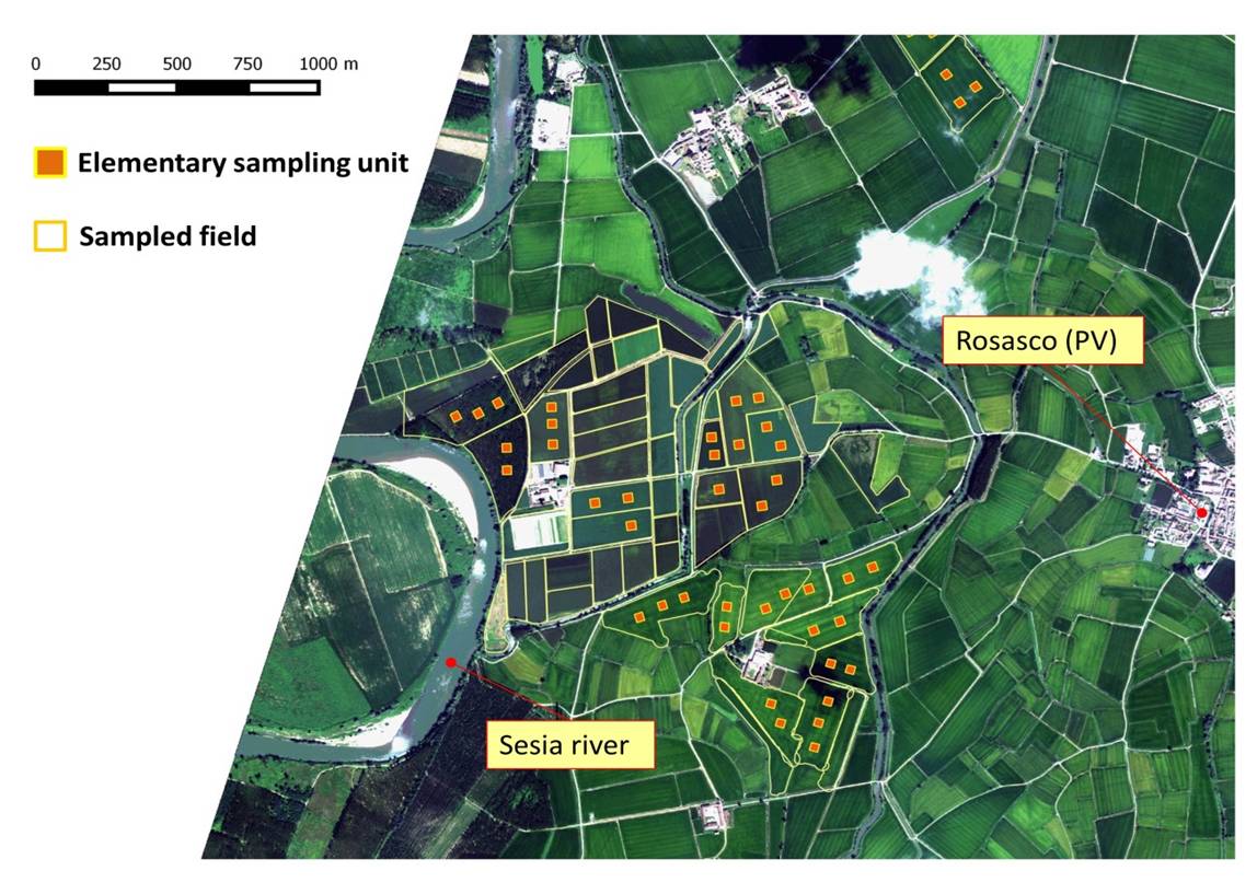
Location of the 43 elementary sampling units (Rosasco, PV, Italy) where field measurements were conducted
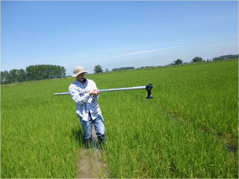
A CNR-IREA operator is acquiring hemispherical photos over rice canopy
For further information you can contact Francesco Nutini (CNR-IREA) writing to nutini.f@irea.cnr.it