Italian field activities 2014
The italian field data were collected almost weekly from the beginning of June 2014 till the end of September 2014, covering the entire rice season. These data and information are of fundamental importance because they will be compared with ERMES datasets in order to better understand the relation between what it is on-going in the rice agro-ecosystem and the behaviour of the remote sensing data.
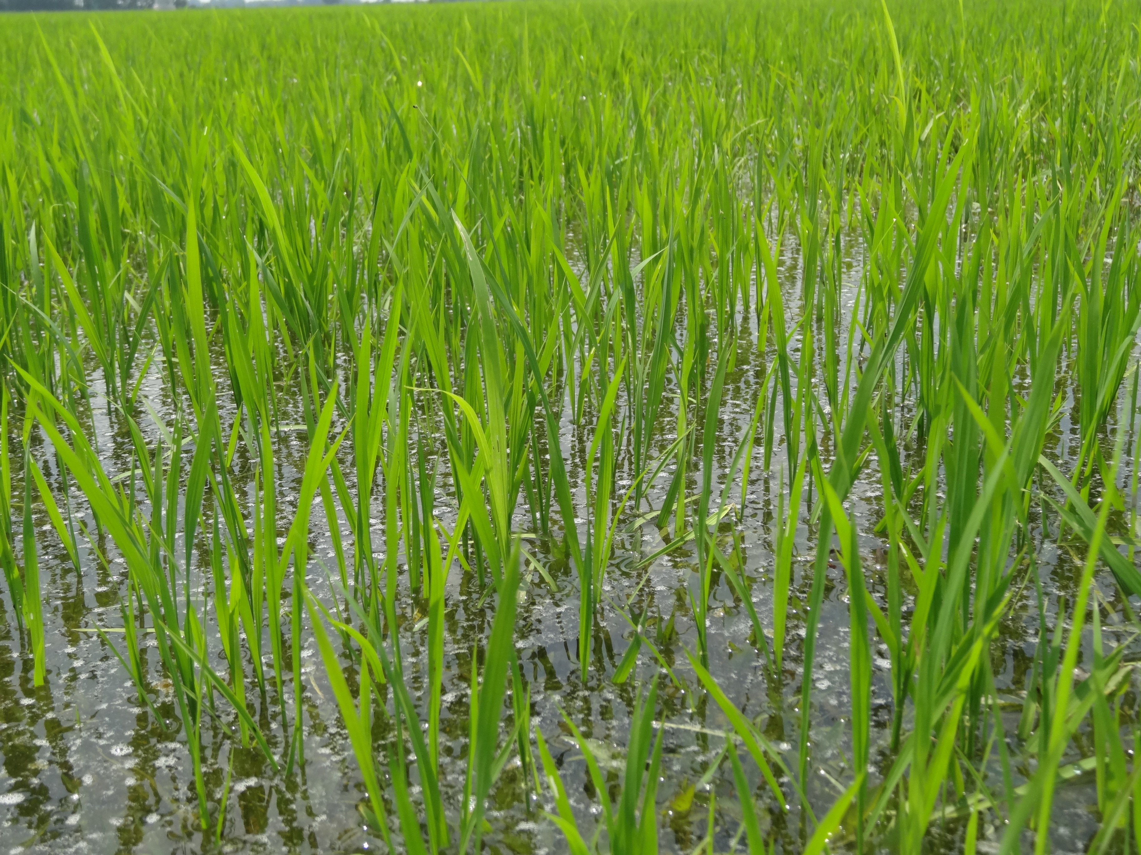
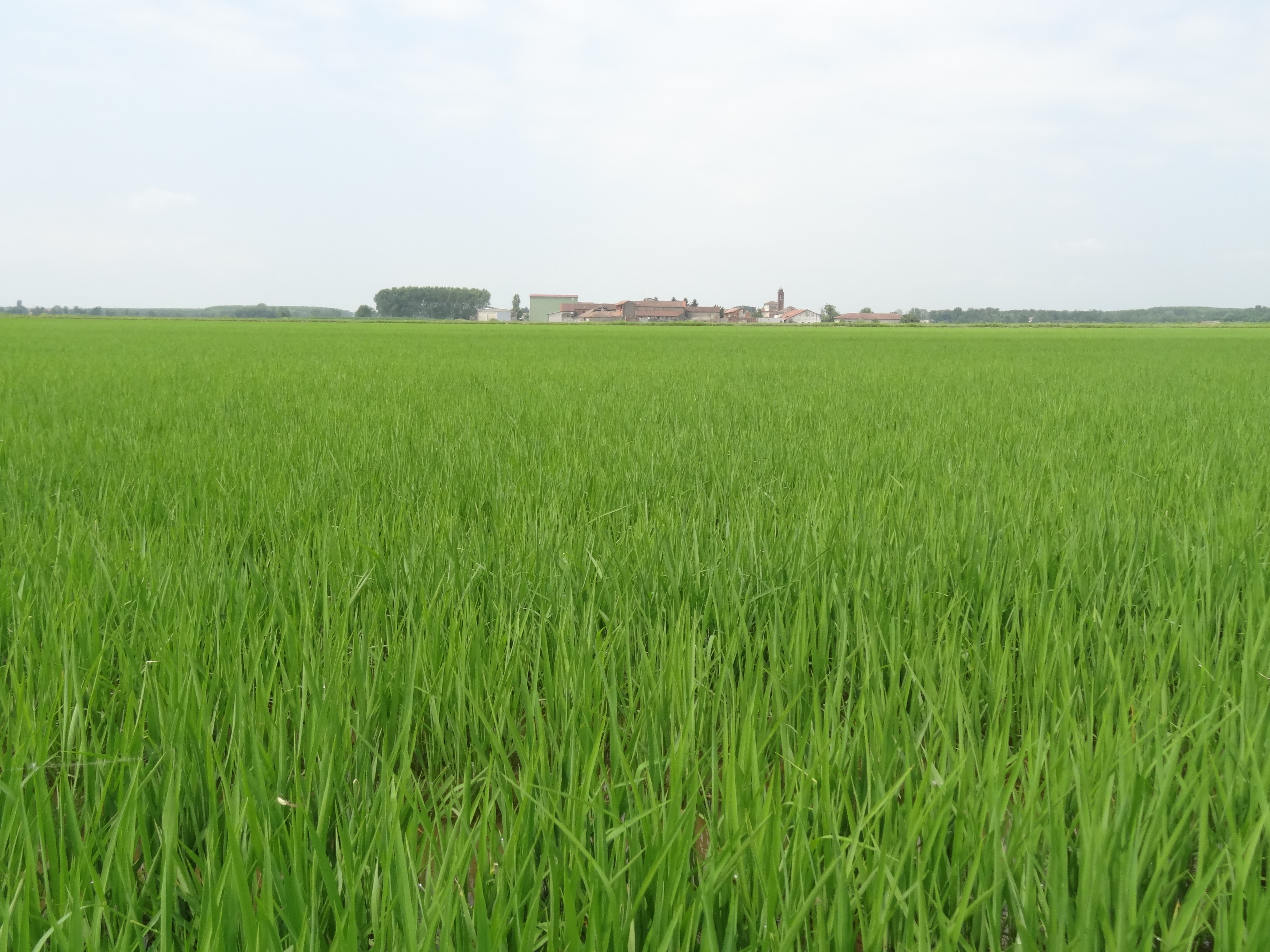
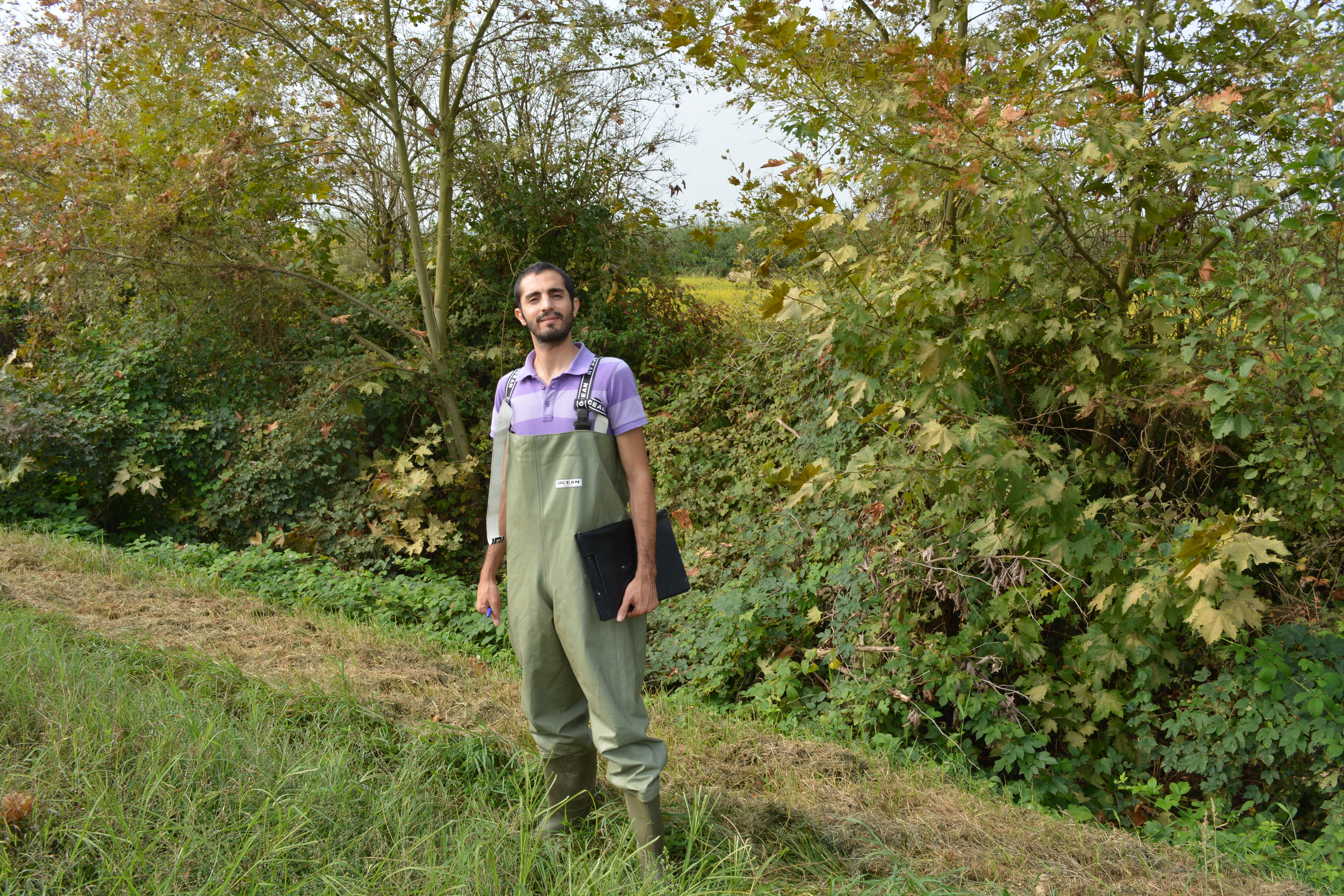
The monitored fields belong to two farms in the province of Pavia (one is placed in Rosasco and the other one in Castello d’Agogna). Were globally monitored ten rice fields, choosing the wider fields and the bigger variety in cultivars and agro-practices.
ERMES data were collected considering these parameters and making use of these istruments:
- Leaf area index
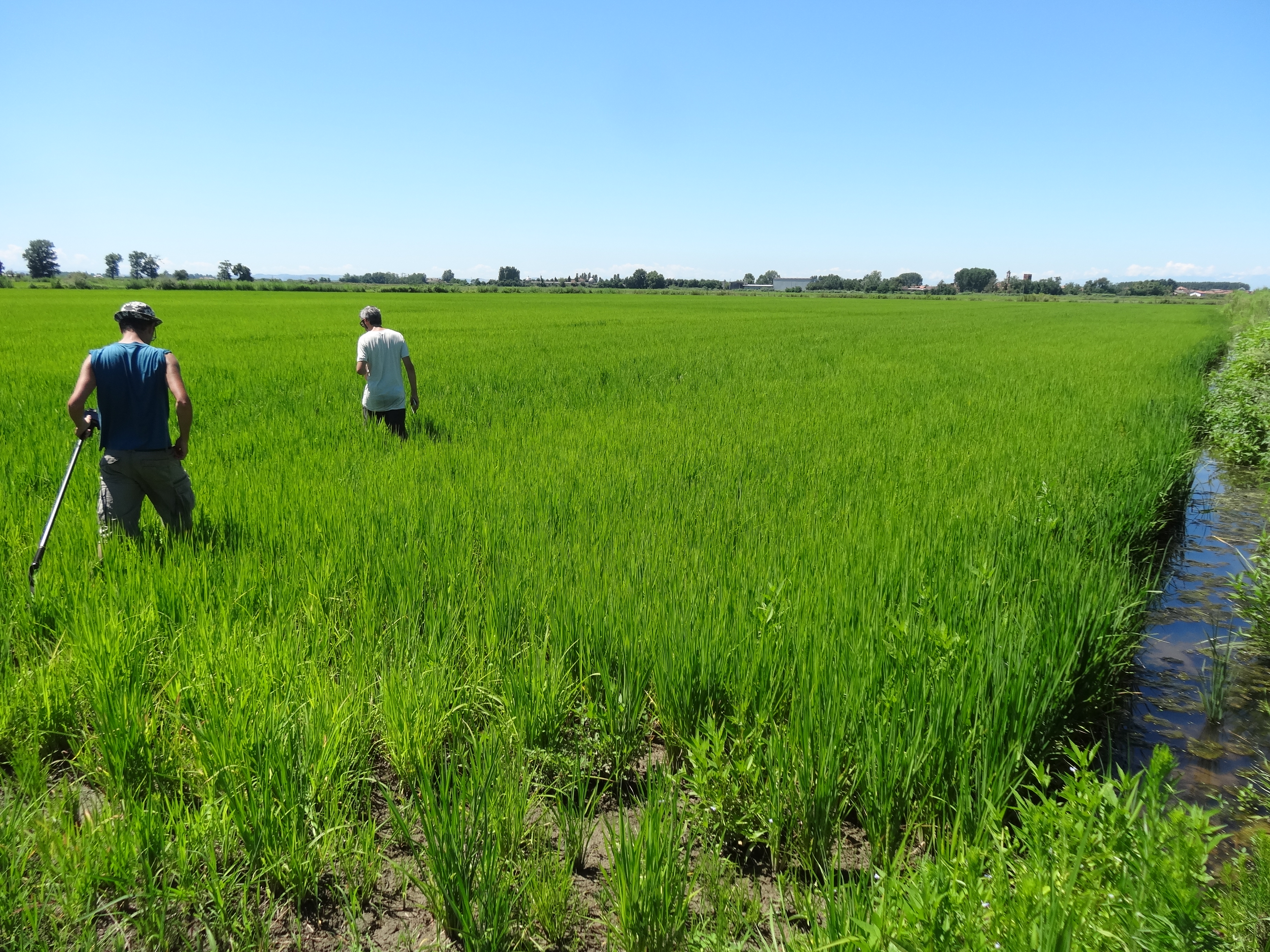
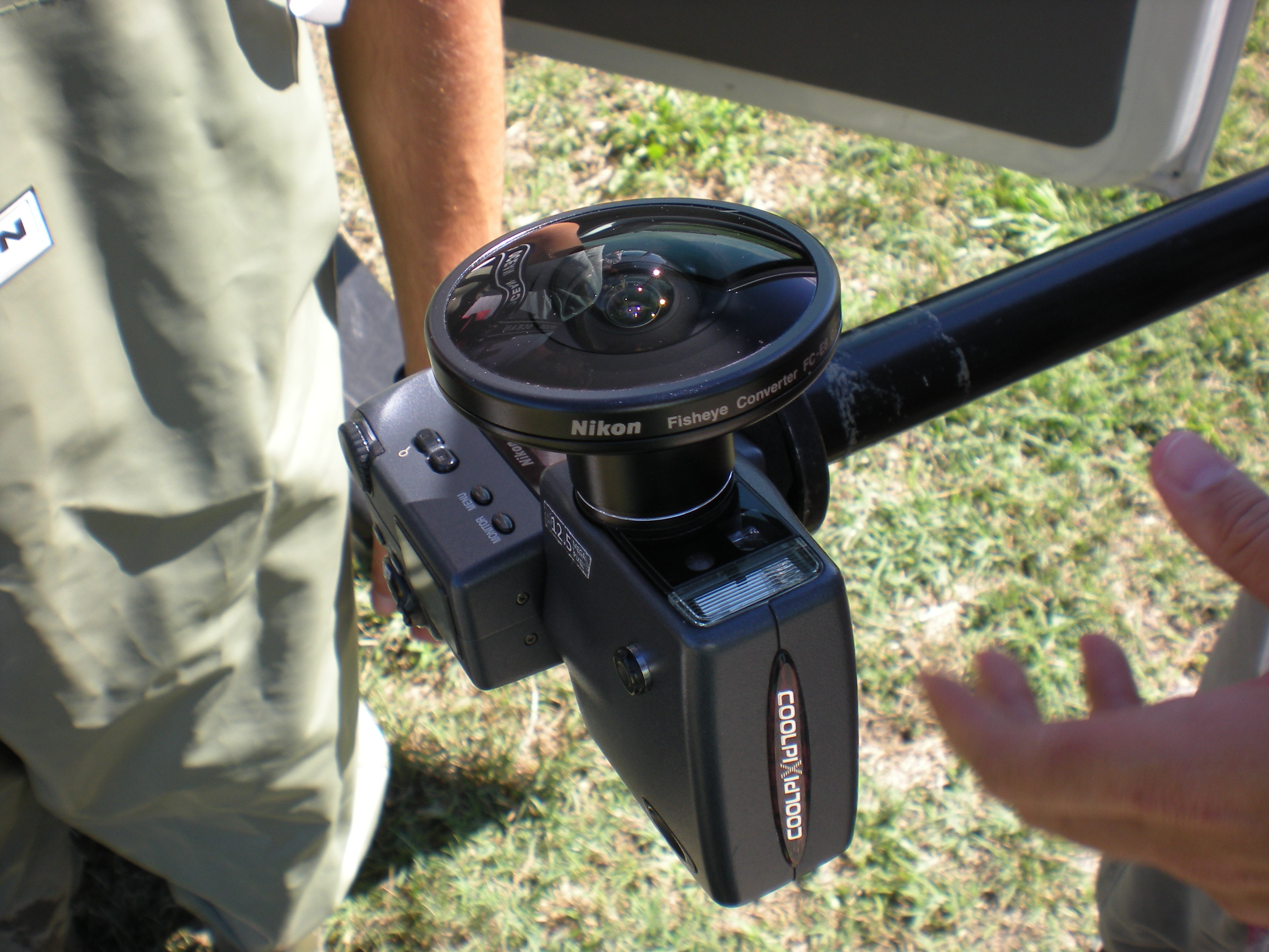
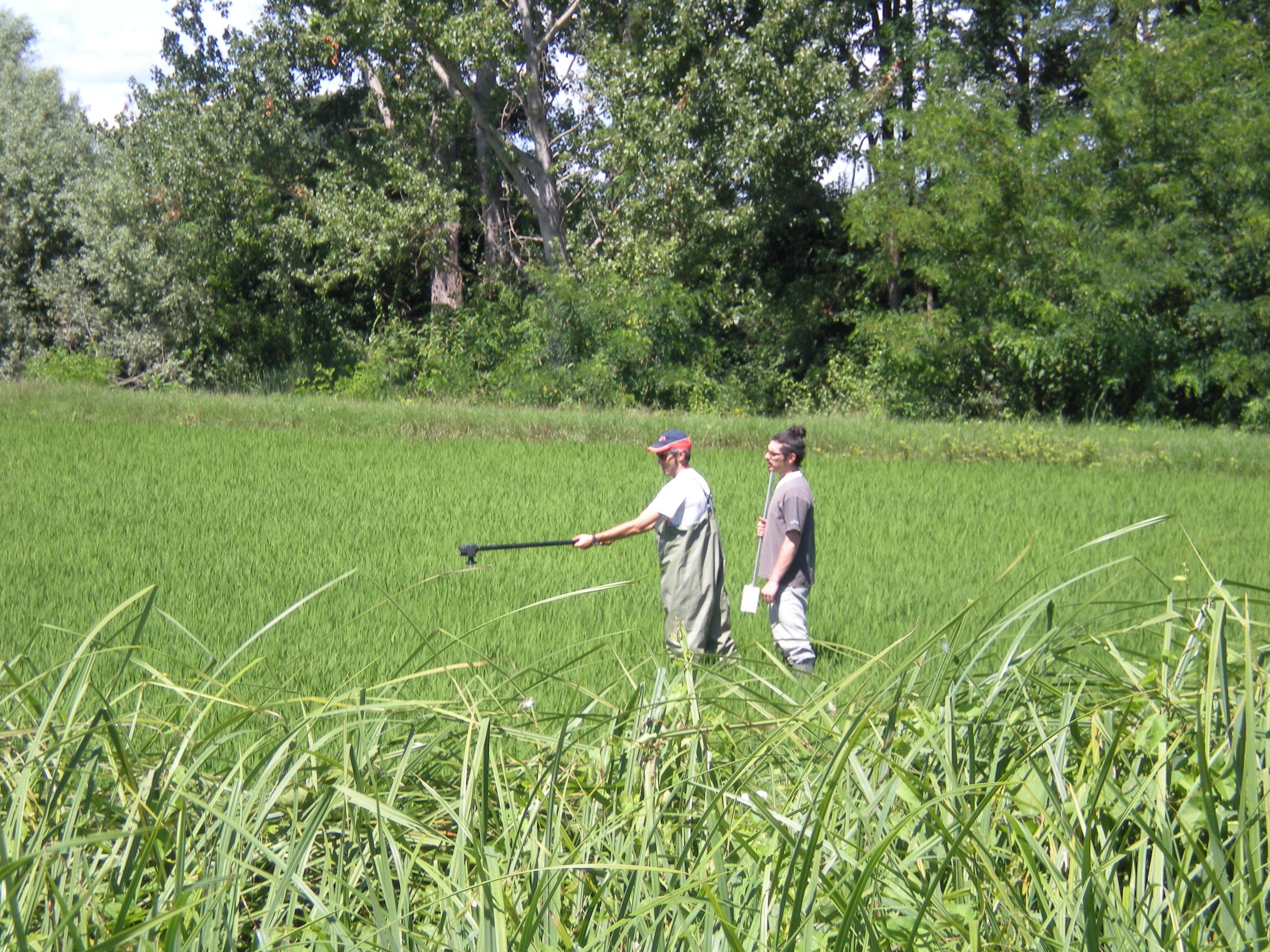
- five hemispherical photos on each field to be processed with Can-eye software to obtain LAI measurements.
- LAI measurement were also collected using the smartphone app called PocketLAI developed by CASSANDRA group.
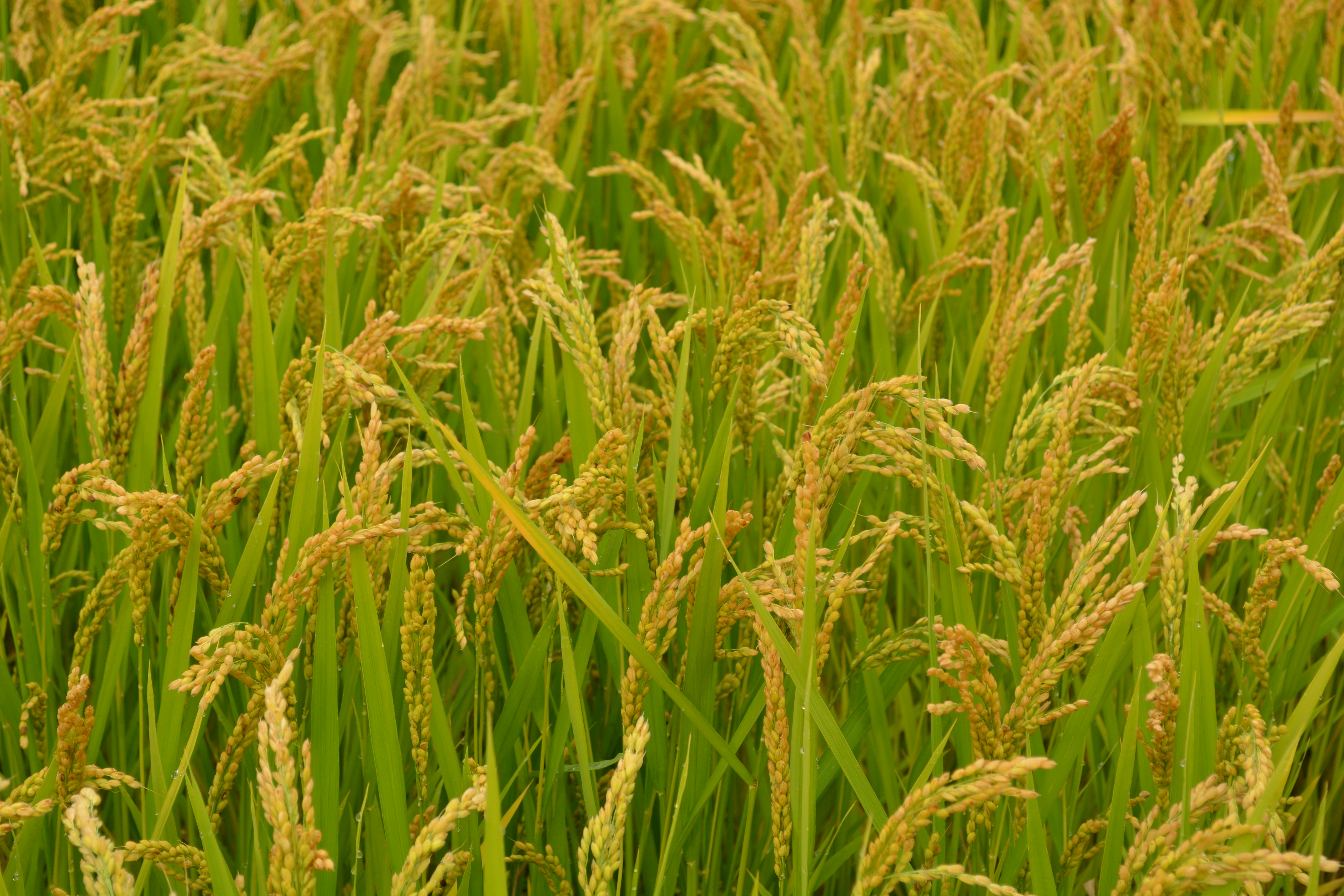
- Phenology and crop development
- The phenological info were collected on field according to the BBCH scale. Other information of the plants growing, such as the average plant height and average number of the stems were measured in a random plot inside every field.
- Agro-practices
- flooding practices on rice fields were observed by researchers. These information can be used to validate and interpret the flooding map obtained via satellite data.
The periodical monitoring allows the researchers to obtain time series of variables of interest, such as the LAI data for rice. This index allow to study the temporal behaviour of the plant growing and to relate it with the satellite data.