(English)
A series of SAR Intensity and Coherence data, generated from Sentinel-1A images (acquisition period: January – September 2016), has been used to map the agricultural land all over Gambia.
The implemented approach, which consists of a rule based classification of SAR multi-temporal features, allows discriminating rice from other crop types, as well as differentiating the main natural land covers classes.All ESA-provided data have been processed by sarmap’s MAPscape proprietary software.
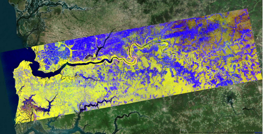
RGB Composite of Sentinel1-A temporal descriptors
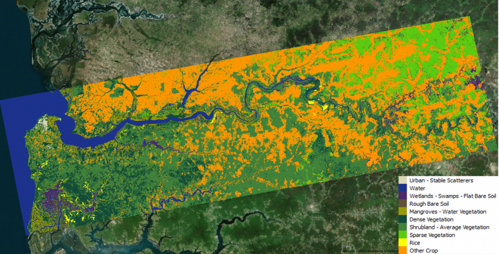
The obtained Land Cover map
A ground dataset of 300 samples, well distributed throughout the country and collected on different land cover types, has been used to validate the map. The overall accuracy exceeded 90%