News - 12/06/2015
The Italian rice District meets the ERMES project: discussion on June 2015 satellite maps
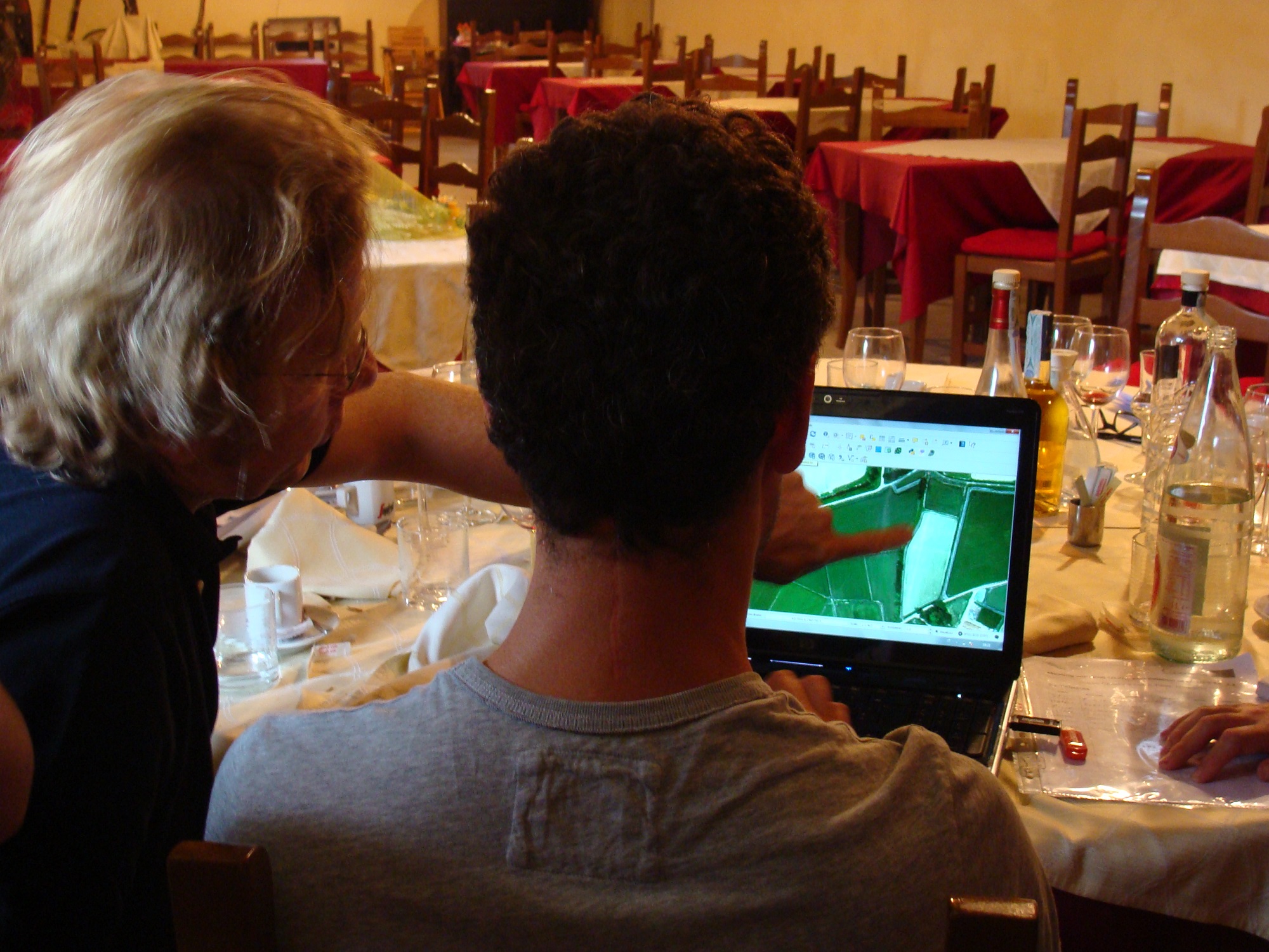
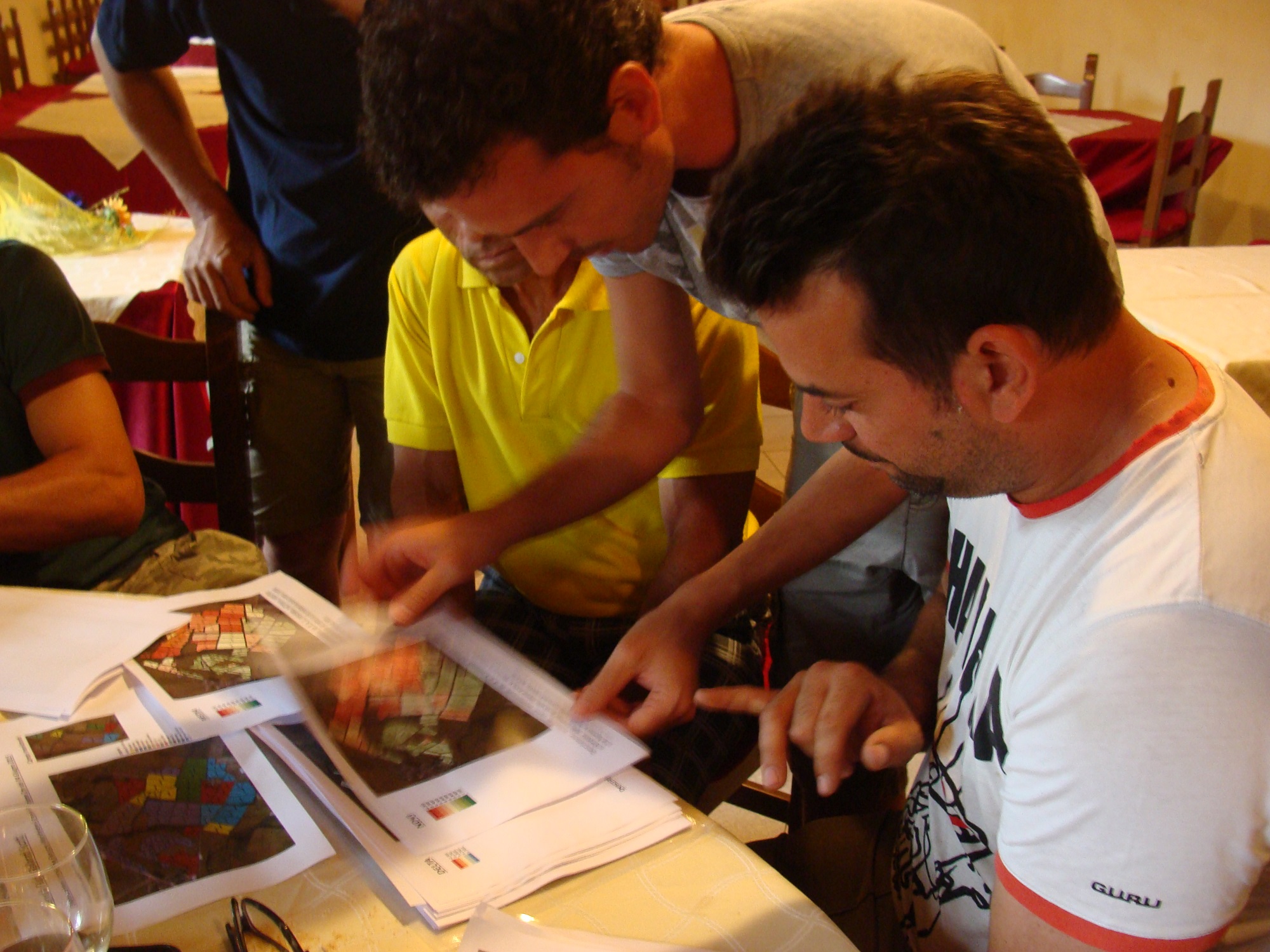
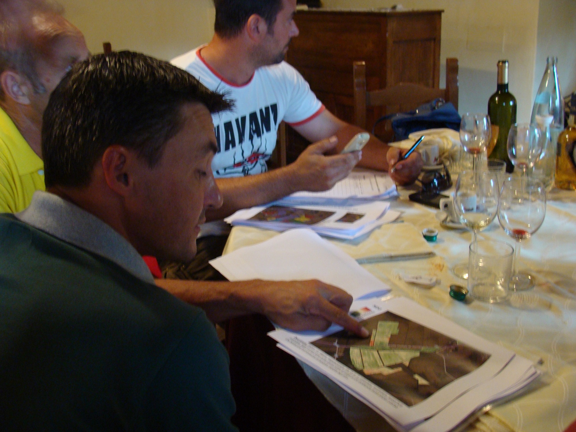
On the 12th June 2015 three representative farmers from Lomellina rice District (Italian study area) met some italian ERMES project researchers. They discussed around a series of satellite WorldView2 images acquired by the researchers on last 4th June. The images described the NDVI index related to the rice fields of the 3 selected farms which represent part of the areas monitored by ERMES in the italian local study area.
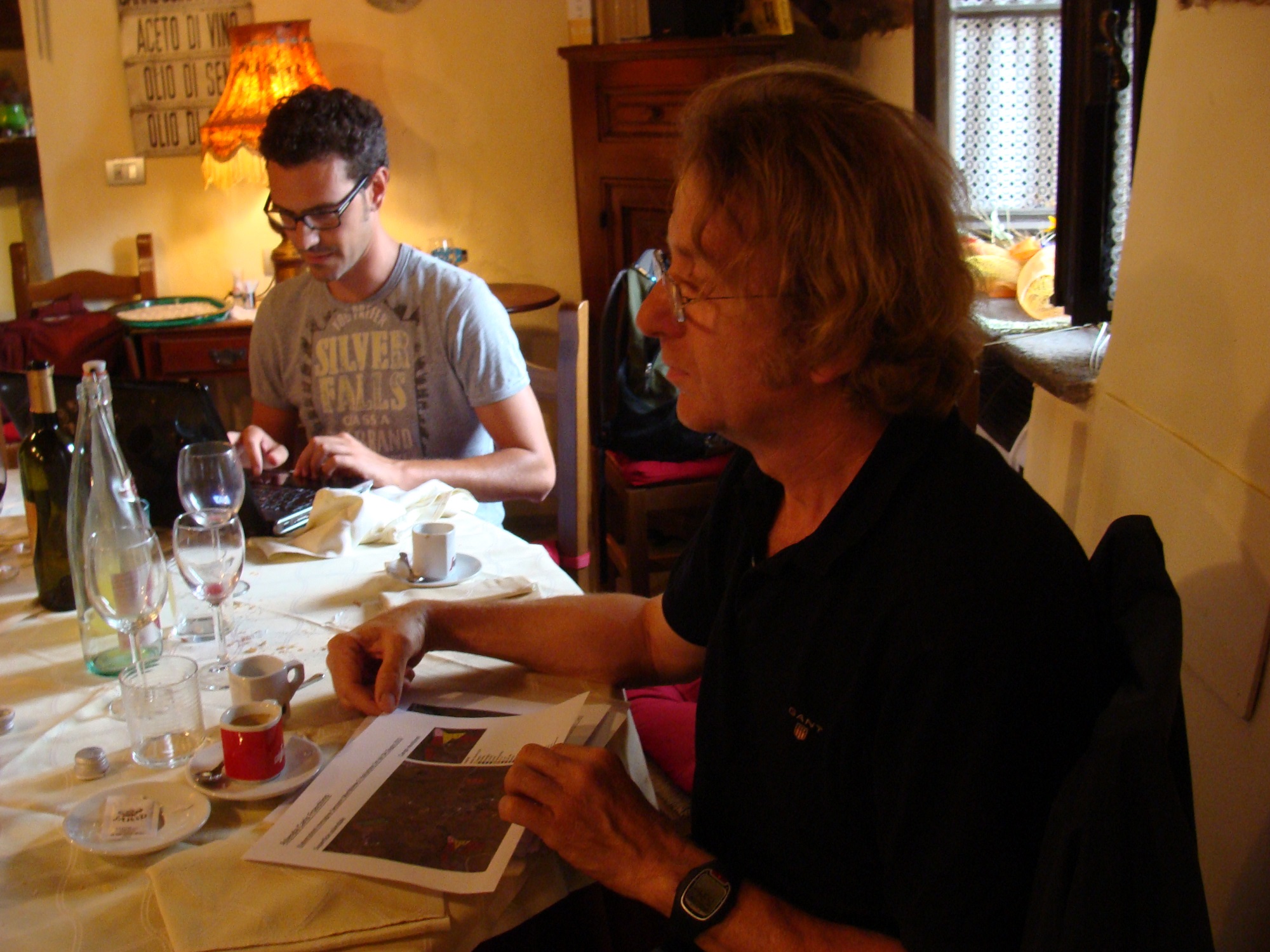
The meeting has been planned in order to interact with the rice cultivators, give them examples of useful tools and maps that can support the agricultural practices on the ongoing season and provide researchers field-feedbacks to evaluate the usefulness of information contained in the maps. Furthermore, the meeting could help in conveying the level of interest on precision farming shown by the Italian rice farmers involved in the experimental research process.

An example of NDVI map presented to the Italian farmers during last 12th June ERMES meeting. this is an high resolution NDVI map taken from the WorldView-02 image of 4 July, clipped on one Lomellina end-user’s fields. The index is sensitive to the green biomass on field. The ones with higher values of the index were sowed up to one month before the others.
