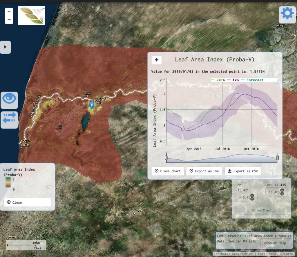
ERMES Senegal study area with LAI time series shown
Next to this, a user permission system was implemented for the local geoportal which allows different user profiles with different privileges. In particular, farmers can now grant appropriate access to cooperators (e.g. field workers), and guests are provided with a restricted view. Another interesting extension is the real-time alerting system, which allows farmers to receive email alerts when certain critical situations appear. At this moment, the geoportal supports development stage and rice blast infection risk alerting. Reporting has also been significantly improved, now allowing end users to export/print any information available in the geoportal: ERMES products can be printed as pdf or downloaded though the ERMES catalogue, and graphs can be exported as raw data or as image. Finally, some miscellaneous improvements were implemented. For example, a coordinates widget helps the users to locate themselves, or immediately focus on an area using latitude and longitude coordinates.
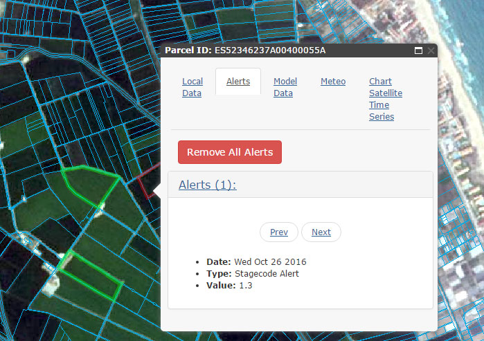
Example of highlight of parcels with active alerts in the local geoportal
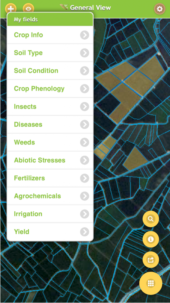
Main interface for inserting information in AgriNotebook
The ERMES Smart App, designed to collect in-situ field observations, was re-baptized as AgriNotebook, bringing its name closer to the intended use of the app. The app got an extensive make-over, particularly revamping all basemaps to provide higher quality and more details. The offline functionality was also consolidated: the use of more advanced compression techniques now allows full offline map availability for all regions and at all zoom levels. Finally, a social aspect was added o AgriNotebook, allowing farmers to share observations.
It has definitely been a year of intense and exciting work, and the ERMES team is certainly happy with the results achieved.
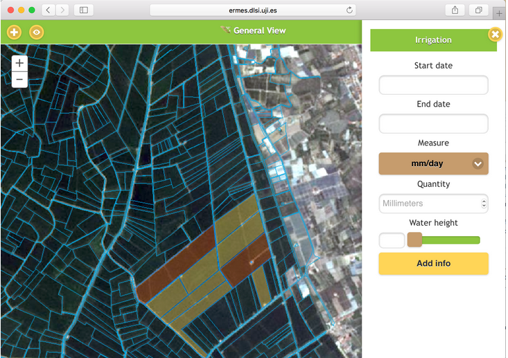
Example of form for inserting irrigation information in AgriNotebook